3D maps by drone
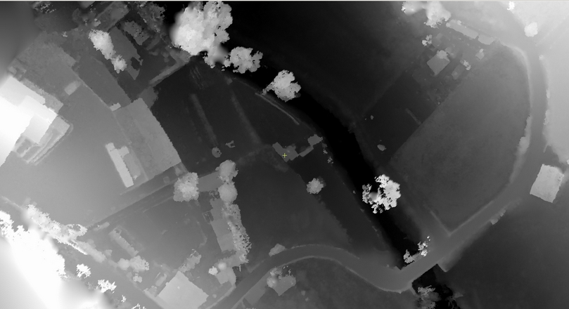
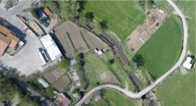
16.04.2015Terrasystem is participating in a study on the applicability of 3D mapping technologies from drone for assessing flood areas, carried out in collaboration with DIBAF of the University of Tuscia and the University La Sapienza of Rome.
Mosaico di orto-immagini da drone
Elaborazione del modello digitale del terreno